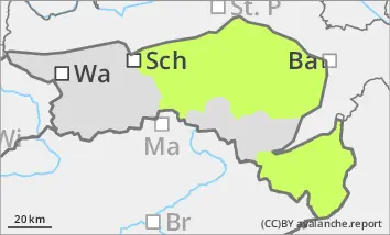
The avalanche danger is low (level 1). Due to the moistening of the snow cover, caused by rain and mild temperatures, small, spontaneous loose snow slides are possible.
Snowpack
Due to the rain up to the summit area on Tuesday and the rising temperatures, the snow cover, snowpack has lost firmness. Due to the continuing mild temperatures and the sunshine, the snow cover, snowpack remains moist and wet. A melt-freeze crust may form in the morning, which will thaw during the day. The amount of snow is still well below average.
Tendency
The avalanche danger will remain the same on Thursday. The danger of wet loose snow avalanches is even decreasing.
In the coming days, the weather will continue to be characterised by high pressure and mild temperatures. Although dense clouds will occasionally cover the sun, rain or snowfall is not expected for the time being. The high fog in the lowlands will become denser and gradually reach up to altitudes of around 1000 metres.
Danger level
Avalanche Problem
Wet snow
Sunlight and warming can spontaneously loosen damp slides.
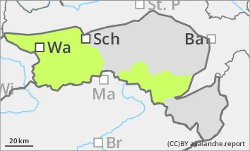
The avalanche danger is categorised as low (level 1). The main problem is small, wet slides, which can be triggered in a few places by additional load. Spontaneous, small loose snow slides are also possible in isolated cases, especially from steep slopes in southern and eastern aspects. With the sunshine and rising temperatures, the danger of spontaneous loose snow slides increases slightly during the daytime changes. In shady gullies and bowls above the tree line, there are still prone to triggering snowdrift accumulations. These can be triggered by a single person as a small slab avalanche.
Snowpack
The wind slab, which was deposited on a soft layer of snow with graupel, is only occasionally prone to triggering in shady gullies and bowls due to the warming and rain up to an altitude of 1700 metres. Due to the rain and warming, the snow cover, snowpack has lost firmness, especially at altitudes below 1700 metres. Due to the continuing rise in temperatures and solar radiation, the moisture in the snow cover, snowpack, in particular in southern and eastern aspects, increases significantly up to the summits during the daytime changes.
Tendency
The avalanche danger will remain the same on Thursday. The danger of wet loose snow avalanches is even decreasing.
In the coming days, the weather will continue to be characterised by high pressure and mild temperatures. Although dense clouds will occasionally cover the sun, rain or snowfall is not expected for the time being. The high fog in the lowlands will become denser and gradually reach up to altitudes of around 1000 metres.