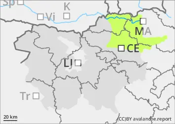
ARSO

Monday 29 December 2025

Published 28 Dec 2025, 17:00:00


Danger level

2000m
Avalanche Problem
Persistent weak layer
2000m
Wind slab
Treeline


The danger of Avalanche is low. Be careful in fresh snowdrift accumulations!

Snowpack is mostly stable. In some places in the high alpine regions, especially on fresh drifts of blown snow, a small, clustered Avalanche can be triggered under higher loads.
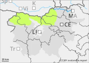
Snowpack

dp.4: cold following warm / warm following cold

There is little snow, and the peaks and ridges are in some places blown bare. During the last deterioration, about 10 cm of New fallen snow fell, on Sunny slope below 2000 m on terrestrial ground. In the high alpine regions, weak layers may be present in the old snowpack. On prominent areas, the snow has become heavier during the day and drifts are forming at night.

Tendency

Tuesday and Wednesday will be sunny but windy and 15 degrees cooler than Monday. Snow will remain frosty during the day.


Danger level

700m
Avalanche Problem
Wet snow
700m
Wind slab
Treeline


Don't walk on steep grassland alone.

On steep meadows with blowing snow, an Avalanche can be triggered. As the weather clears and warms up, the snow will become slushy, especially in the afternoon, and spontaneous creeps of wet snow will break out.

Snowpack

dp.6: cold, loose snow and wind

Above 700 m there is up to 30 cm of snow. Small snowdrift accumulations have formed on meadow edges and near ridges. Aspen has already formed on the Sunny slope and the snow is still dry in the washes.

Tendency

On Tuesday morning, the northerly winds will strengthen again, with a few medium clouds passing through. It will be cooler, around -10 °C at 1500 m. Wednesday will also be sunny, windy and cold.