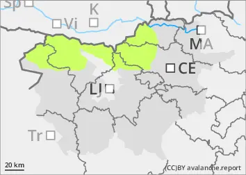
Danger level
 |
|  |  | |||||
| |  |


![]()
There will be low danger of avalanches
The old snow cover is mostly well transformed, cohesive and stable. The danger of wet snow avalanches will be relatively low. As the weather warms up, some Avalanches may occur during the day. A small amount of new snow has fallen this week, especially in the high alpine regions. Smaller snow accumulations have formed and may be potentially unstable.
Snowpack
dp.10: springtime scenario
With clear weather and a dry air mass, the snowpack will mostly freeze overnight. During the day, the snow will melt again. The zero isotherm will be around 2800 m above altitudes. The snow is already quite dry in the high alpine regions. Snow is relatively scarce for this time of year.
Tendency
Monday will see more clouds. It will be a little cooler. The snowpack is unlikely to freeze due to a few more clouds.