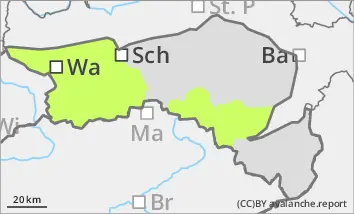
Danger level
 | 1400m |
|  |
|  |

![]()
Beware of fresh wind slab, note persistent weak layer problem in shady high altitudes.
The avalanche risk is still low. The snowfall on Monday and during the night from Monday to Tuesday will mostly fall below around 1500 metres on loose ground. In the higher altitudes, small drift snow packs may form in gullies and bowls due to the occasional strong winds, which can be triggered by individual winter sports enthusiasts. Continue to exercise caution in steep, on shady slopes, where small slab avalanches are still possible in persistent weak layers.
Snowpack
The snowpack is mostly stable. Due to the clear nights of the last few days, a melt-freeze crust has repeatedly formed on the surface. In shady high-altitude areas, large faceted crystals are still present in the persistent weak layer in places, weakening the snow base, fundament. There are also grains of sleet on the surface in some places which, in combination with fresh, wind-blown snow, act locally as a weak layer. There is little snow below around 1400 metres and below around 1600 metres on the sunny slopes.
Tendency
On Wednesday, residual clouds and the last flakes at first, increasingly sunny during the day but still very windy. Thursday will bring mostly sunny weather. Watch out for wind slab and persistent weak layers.