Danger level
 | 2000m |
|  |
|  |

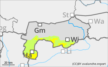
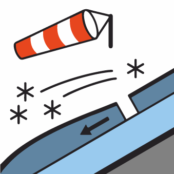
High-lying local avalanche prone locations due to prone to triggering wind slab!
Due to strong to sometimes stormy winds from the northwest and recently some new fallen snow, snowdrift accumulations have formed in the higher elevations. In steep terrain, in areas adjacent to the ridgeline, as well as in bowls and gullies, the triggering of small to rarely medium slab avalanches is possible even with a small additional load. The usually easily recognisable avalanche prone locations should be avoided. Be aware of the risk of falling on the hard old snowpack.
Snowpack
On Tuesday there was around 10 cm of new fallen snow with strong winds from the north-west. Where the fresh snowdrift accumulations lie on a hardness of old snowpack, the bonding is not sufficient. The thin old snowpack contains faceted crystals that have been transformed by building up. Surface hoar would be covered. The snow depths are very below average, even at high altitudes. Below this, the new fallen snow came to rest on bare ground.
Tendency
No significant change in the snow and avalanche situation. There will be some new fallen snow and strong winds in the night to Thursday.
