Danger level
 |
|  |  | |||||
|  |
|  |


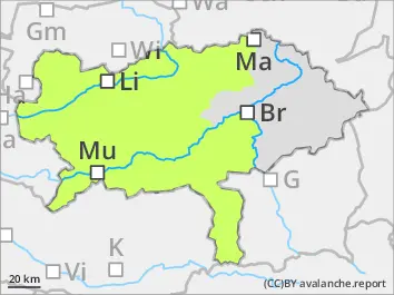
![]()
In high altitudes danger spots are found in some places
Avalanche danger is in general low. In high altitudes danger spots in form of snowdrift deposits which are prone to triggering are found. There - in shady areas or adjacent to ridgelines small slab avalanches can be triggered. In extremely steep slopes on sunny areas spontaneous loose-snow avalanches can’t be ruled out. Ridgelines and summits are icy and hard. Be aware of risk of falling.
Snowpack
During the night the snow cover cools down and solidifies. Due to radiation the snow will get firn-like already in the morning and gets increasingly moist and instable. On shady slopes above 2.000 m loose snow is found in some places, and in rare cases thin snowdrift deposits which are prone to triggering have formed. The snow base is predominantly stable. Especially on sunny slopes only little amounts of snow is found even in high altitudes.
Tendency
Monday morning dense clouds and rain up to 2.000 m is forecasted. In the afternoon it will clear up and sunny for the east is called. In the west low altitude clouds can persist. The avalanche danger will stay low.