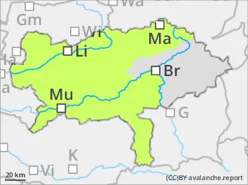
Danger level
 |
![]()
Avalanche danger low. The amount of snow is low.
Still low avalanche danger. Danger spots can be located in high altitudes in shady, extremely steep areas. There slab avalanches and driftsnow accumulations could be triggered.
Snowpack
In high altitudes small amounts of snowdrift accumulations have formed which partially are on top of faceted snow which can be considered as weak layers in rare cases. The snow surface got wet on Saturday, but will be hard on Sunday. Blown-off areas are hard and icy. The kinetic metamorphosis weakens the snow base on shady slopes.
Tendency
Foehn-like southwesterly winds are clearing up the clouds a little bit during the day. After sunset it will get cloudy and the mountains foggy. Southwesterly winds with 30 km/h speed. Temperatures in 2.000 m are around 2 degrees. The avalanche danger stays low.