As the day progresses, a minor snowdrift situation emerges at high altitudes.
Avalanche danger is low. Small glide snow avalanches can trigger naturally on very steep intermediate altitude slopes with smooth ground, in all places with still sufficient snow. During the second half of the day, in addition small snowdrift accumulations will be generated which can be triggered by low additional loading in isolated cases. Avalanche prone locations are found in steep north-facing terrain. Slab avalanches remain small.
Snowpack
During the course of the day temperatures will drop and up to 10 centimeters of new snow will fall. At intermediate altitudes the new snow has bonded well with the moist old snowpack surface. Up to elevations of approx. 2000m the snow base is thoroughly moist and often wet at the ground. At high altitudes a layer consisting of faceted crystals persists at the old snowpack surface on the shady side atop which small snowdrift accumulations will be deposited that will be prone to triggering.
Tendency
As temperature drops avalanche danger can increase by Friday due to additional new snow and wind.
BEFORE NOON Danger level
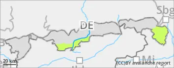
2000m
Avalanche Problem
Gliding snow
2000m
AFTERNOON Danger level
treeline
Avalanche Problem
Wind slab
Treeline
Gliding snow
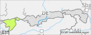
2000m
Snowdrifts will become problematic during the course of the day.
Avalanche danger is low in the morning, but rises to moderate above the timberline during the course of the day. Snowdrifts are the main problem which accumulate during the course of the day. In places these can bee triggered by minor additional loading. Avalanche prone locations occur in steep terrain in NW/N/E aspects. Frequency and size increase with ascending altitude. Slab avalanches reach medium size. Small glide snow avalanches can trigger naturally on very steep intermediate altitude slopes with smooth ground, in all places with still enough snow.
Snowpack
In total, up to 30 centimeters of new snow will have fallen by Thursday evening which will be transported by westerly winds. Snowdrift accumulations can contain intermediate layers that are prone to triggering. At intermediate altitude the new snow has bonded well with the moist old snowpack surface. Up to approx. 2000m the snow base is thoroughly moist and often wet at the ground. At high altitude a layer consisting of faceted crystals persists at the old snowpack surface on the shady side which can constitute a weak layer for slab avalanches.
Tendency
Avalanche danger levels are not expected to change significantly.
Danger level
2000m
Avalanche Problem
Gliding snow
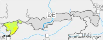
2000m
Snowfall of up to 10 centimeters during the course of the day.
Avalanche danger is low. Small glide snow avalanches can trigger naturally on very steep slopes with smooth ground, in all places with still sufficient snow.
Snowpack
During the course of the day temperatures will drop and up to 10 centimeters of new snow will fall. The new snow has bonded and will bond well with the moist old snowpack surface. Most of the time the snow base is completely soaked and frequently wet at the ground. At higher altitudes small snowdrifts will accumulate. However, these are not likely to trigger.
Tendency
Snowdrifts can become the most relevant issue again by Friday, as a result of cold temperatures and some additional fresh snow and wind.