Danger level
 | 1800m |
|  |
|  |

Old snow in high altitudes still prone to triggering.
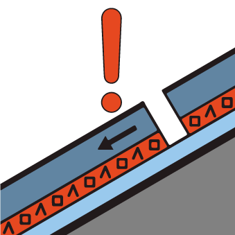
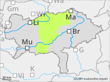
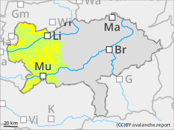
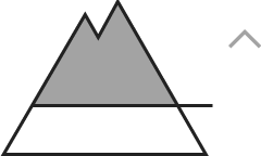
Moderate avalanche danger above 1.800 m below that low danger. The main problem still a weak old snow cover underneath fresh snowdrift deposits. Danger spots are predominately in entries and peripheral areas of extremly steep gullies and bowls in the north to east expositions. There spontaneous glidingsnow or gliding loose snow avalanches coming from extremly steep slopes are possible.
Snowpack
The snowcover is moist. It was able to settle at least on the surface due to cooling. It softens only with sufficient radiation. In higher northwest to eastern sectors older mostly settled snowdrift areas existing. In places a old snow covers which is weakened due to equilibirum metamorphosis. This combination can be prone totriggering. Exposed areas are icy and hard. In steepp areas the wet snow cover is prone to glide when it is on smooth surfaces or grass.
Tendency
On Sunday sunny mountain weather is called. The avalanche danger decreasing.
