Danger level
 | 2000m |
|  |
|  |

![]()
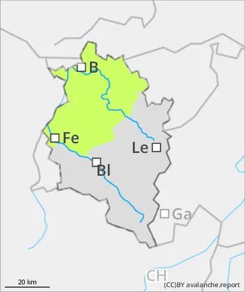
Rising avalanche danger above the treeline due to fresh snow and wind
Above the treeline, fresh snowdrifts are accumulating. These are often prone to triggering and easily unleashed as a slab avalanche. Their magnitude and spread tend to increase with ascending altitude. Avalanche headquarters currently has little data from outlying regions about the snowpack, for that reason a cautious on-site evaluation is important. Below the treeline, avalanche danger is low. Isolated danger zone for small triggerings (slides) are possible in steep terrain. The risks of being swept along and forced to take a fall need to be considered.
Snowpack
By Sunday evening, 5-10cm of fresh snow is anticipated, locally up to 15cm. It will fall on a mostly wind-impacted, generally well bonded old snowpack surface. With ascending altitude, paricularly in ridgeline and pass areas, fresh, mostly small snowdrifts masses prevail. These are often minimally bonded with the old snowpack and thus, prone to triggering.
Tendency
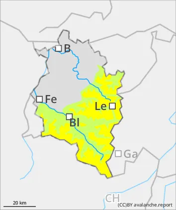
Depending on fresh fallen snow and wind influence, avalanche danger at high altitudes can rise further by Monday.