Starting at midday, avalanche danger is expected to rise.
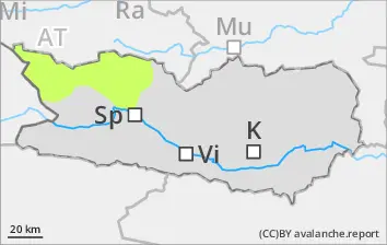
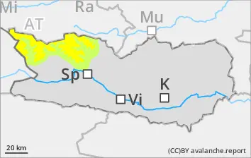
Due to fresh fallen snow and storm-strength winds, avalanche danger will rise to Level 2 - “moderate.” Isolated, generally small-sized naturally triggered avalanches cannot be ruled out, particularly at the foot of cliff walls and behind protruberances in the landscape along the Salzburg border in regions where it is windy. Also in gullies and bowls, snowdrift accumulations will be generated as of midday. Caution urged in all aspects above 2400m. Apart from the risks of being buried in snow masses, the dangers of being swept along and being forced to take a fall must be considered.
Snowpack
From place to place, 5-15 cm of snowfall is anticipated. Winds will be blowing intermittently at storm-strength. Freshly generated snowdrift accumulations will be deposited atop a weak old snowpack surface, especially on shady slopes above 2400m and on wind-protected sunny slopes above 2600m. The upper layers of the snowpack are soft; the lower layers are faceted.
Tendency
As a result of fresh snowfall and strong-velocity winds, the magnitude of avalanche prone locations will grow.