The avalanche risk is low. There is generally very little snow left. Only isolated wet snow slides are to be expected. The risk of entrainment in the fall terrain outweighs the risk of burial.
Snowpack
The predominantly wet snowpack may consolidate somewhat as it cools down. At high altitudes, there is a thin layer of fresh snow in places. There is only a little snow left and the sunny slopes are usually already snowed out.
Tendency
The avalanche danger remains low.
The weather gradually calms down on Wednesday. The spring clouds in the afternoon are already significantly fewer and it remains mostly dry. From Thursday, high pressure will ensure very good leisure weather in the mountains, although the wind will blow briskly from the north in places.
Danger level
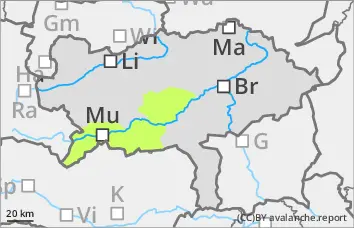
treeline
Avalanche Problem
Wind slab
Treeline
Low avalanche danger, note fresh wind slab.
The avalanche risk is low. The previously soaked snowpack has stabilised somewhat in recent days due to the lower temperatures. The wet snow problem has therefore receded into the background, but cannot be completely ruled out on steep slopes that have not yet been discharged.
With the current precipitation and strong winds, fresh drift snow packs are forming in places. These are mainly found in gullies and bowls as well as in areas adjacent to ridgelines. The drift snow packs are prone to triggering and can be triggered as small slab avalanches by a single person.
Snowpack
The previously wet snowpack is currently consolidating and stabilising somewhat due to the low temperatures.
At high altitudes, a thin layer of fresh snow is forming in places, which is being transported by strong winds and forming small-scale drift snow packs.
Tendency
The avalanche danger remains low.
The weather gradually calms down on Wednesday. The spring clouds in the afternoon are already significantly fewer and it remains mostly dry. From Thursday, high pressure will ensure very good leisure weather in the mountains, although the wind will blow briskly from the north in places.