Danger level
 |
|  |  |

![]()
Low avalanche danger. Occasional wet snow slides with warming during the day.
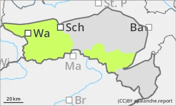
The avalanche risk is low. Where there are still snow reserves, small wet snow or gliding sluffs may occur in a few places as the day warms up. At higher altitudes, there is sometimes an increased risk of falling in the entrance areas to steep gullies due to icy patches. In the northern sector, there are still isolated avalanche prone locations in persistent weak layers at higher altitudes.
Snowpack
A melt-freeze crust forms overnight. Due to the very mild weather phase, the snow surface is quickly soft and moist in sunny locations in the morning. In shady locations, the melt-freeze crust can also persist during the day. At higher altitudes, the snow surface is often hard and sometimes icy due to wind and rain. There are still considerable amounts of wind slabs in the gullies and bowls, which are already well consolidated. Faceted crystals can weaken the snow base, fundament in the northern sector. There is little snow below 1500 metres.
Tendency
The avalanche risk remains low. The sunny and very mild high-pressure weather will continue over the next few days. Due to the dry air masses, snowmelt will slow down somewhat. However, the rapid decline in snow will continue on sunny slopes.