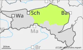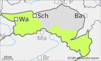
Danger level
 |
![]()
Low avalanche danger, but watch out for older wind slabs in the north and east aspects!
The avalanche risk is low. In a few places at high altitudes, old and fresh snowdrift accumulations can be triggered as small slab avalanches in steep and shady gullies and bowls. Due to icy surfaces, the risk of falling is greater than the avalanche risk in many places.
Snowpack
There is still significantly less snow than average. Rain has moistened the surface of the snowpack. At the highest elevations, small, fresh pillows of wind drifted snow have formed, especially on the north side. Where there is a snow base, fundament (shady areas at high altitudes), angular snow crystals are still weakening the stability of the snowpack.
Tendency
On Friday, the sun will shine temporarily on the mountains, but in the afternoon it will become overcast again from the west. The avalanche risk remains low.