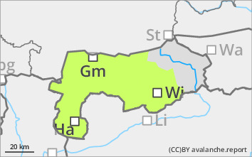
Danger level
 | 2000m |
|  |
|  |

Only adjacent to ridgelines and at higher elevations is some fresh drift snow possible and local persistent weak layer problems!
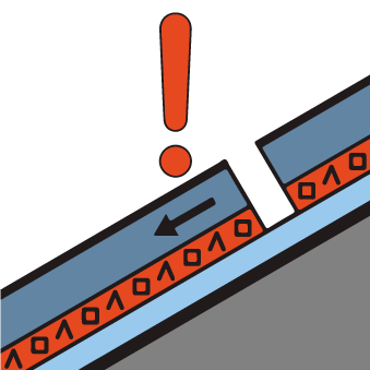
Due to some new fallen snow and depending on the wind influence around the west, there may be some fresh wind slab, which can be prone to triggering in steep terrain. Avalanche prone locations are mainly adjacent to ridgelines and behind terrain edges. In the north-facing high altitudes, the local persistent weak layer problem must still be taken into account in steep terrain. Slab avalanches can be triggered here in particular by large additional loads.
Snowpack
Around 10 cm of new fallen snow is expected by Thursday lunchtime, which may also be transported a little, especially windward. In the shady and north-facing high altitudes, the old snowpack is weakened by layers that have been transformed by building up and some floating snow. The old snow surface is often hard to partly icy. In general, there is only a little snow, which is very unevenly distributed. Before the snowfall, there are many pale and completely blown-off areas.
Tendency
No significant change.
