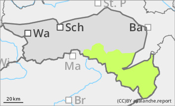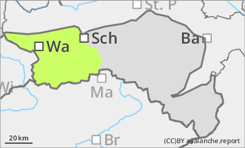
Danger level
 |

Low avalanche danger, but watch out for older wind slabs in the north and east aspects!
The avalanche risk is low. Small slab avalanches can occur in a few places, especially on shady slopes due to fresh pillows of wind drifted snow. In extremely steep gullies in northern and eastern exposures, there is a poor connection to the old snowpack. The thin layer of fresh snow can also cover icy areas at higher altitudes. Beware of the danger of falling!
Snowpack
There is still significantly less snow than average. Small, older pillows of wind drifted snow lie on a thin, crusted can form old snowpack, especially in the north and east sectors in shady terrain. The connection between wind slab and persistent weak layer is still poor in places. In addition, angular shapes can weaken the snow base, fundament.
Tendency
A disturbance with around 10 cm of new fallen snow will reach us on Thursday night. The avalanche risk increases only slightly.
