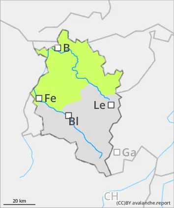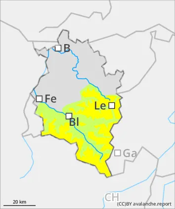
Danger level
 | 2400m |
|  |
|  | ||||
|  |  |


![]()
Caution on very steep shady slopes in high-alpine zones.
Winter sports enthusiasts can trigger small-to-medium-sized avalanches in the old snow. Danger zones occur on very steep NW/N/NE-facing slopes which are difficult to recognize, they increase with ascending altitude. Backcountry tours require an well-considered route selection. Avalanche danger increases during the course of the day. Particularly in intensively sun-bathed steep terrain, increasingly also on shady slopes, small-to-medium wet-snow avalanches are possible. The danger of small, in isolated cases medium-sized glide-snow avalances remains difficult to assess.
Snowpack
At high altitudes, unfavorable intermediate layers in the old snowpack are evident. Bonding deteriorates with increasing altitude, especially in the uppermost and between intermediate layers. On steep shady slopes the uppermost layers of the snowpack are often soft, on sunny slopes already bonded and in the early morning hours capable of bearing loads. The snowpack is throughly wet up to high altitudes but all-in-all well consolidated. Due to daytime rise in temperatures and solar radiation, the snowpack weakens as the day unfolds.
Tendency
Danger of dry-snow avalanches not expected to change in high alpine zones. Due to dropping temperatures on Monday, danger of wet-snow avalanches will diminish. Glide-snow avalanches are still possible.