Above the timberline avalanche danger rises from moderate to considerable. Below the timberline it remains low. Snowdrifts will become the main problem. During the course of the day, many trigger-prone snowdrifts will accumulate in steep ridgeline terrain in N/E/S aspects as well as in gullies and bowls and behind slope protuberances. These are triggerable as slabs by low additional loading and can reach medium size. In addition, new fallen snow can trigger as loose snow avalanches in steep rocky terrain. Such avalanches generally remain small-sized.
Snowpack
At intermediate altitude up to 30cm of new snow have fallen on previously bare ground or on encrusted, stable remnant snow. At higher altitudes the new snow was deposited atop loose snow layers, in particular in shady areas. During the course of the day, westerly winds will intensify, generating fresh snowdrifts above the timberline. These accumulate atop loose new snow and are prone to triggering. The snowpack base is wet and by and large stable.
Tendency
Due to wind and new fallen snow avalanche danger will remain tense.
BEFORE NOON Danger level
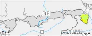
2000m
Avalanche Problem
New snow
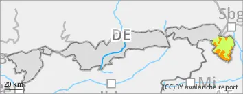
2000m
AFTERNOON Danger level
treeline
Avalanche Problem
Wind slab
Treeline
New snow
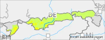
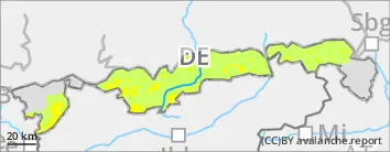
2000m
Snowdrifts prone to triggering in the afternoon.
At high altitudes, avalanche danger is moderate in the morning and above the timberline in the afternoon, below it is low. New snow is problematic early in the day, and can trigger spontaneously as small loose snow avalanches in steep terrain in all aspects. As the day progresses, fresh snowdrifts will become the predominant problem. These can be triggered as slabs by minimum additional loading. Danger zones occur above the timberline in steep N/E/S facing terrain adjacent to ridgelines as well as in wind-loaded gullies and bowls and behind slope protuberances. Slab avalanches remain mostly small. On steep grass-covered slopes that have not yet discharged isolated glide-snow avalanches cannot be ruled out.
Snowpack
At intermediate altitude up to 20cm of new snow have fallen on previously bare ground or on encrusted, stable remnant snow. At higher altitudes the new snow was deposited atop loose snow layers, in particular in shady areas. During the course of the day, westerly winds will intensify, generating fresh snowdrifts above the timberline. These accumulate atop loose new snow and are prone to triggering. The snowpack base is wet and by and large stable.
Tendency
Depending on the amount of new snow and transported quantities, avalanche danger can continue to rise at the beginning of the weak.
Danger level
1600m
Avalanche Problem
New snow
1600m
Now only little snow left on the ground.
Avalanche danger is low. In isolated cases the new fallen snow can be problematic and can release spontaneously as small loose snow slides/sluffs in steep rocky terrain.
Snowpack
A few centimeters of new snow have been deposited atop a patchy, encrusted and stable old snowpack. South-facing slopes are more or less bare of snow. The snow will loose firmness due to daytime warming and solar radiation. At highest altitude, westerly winds will transport the snow minimally during the course of the day. The snowpack is wet down to the ground.