Danger level
 | 2200m |
|  |
|  | ||||
| |
|  |


![]()
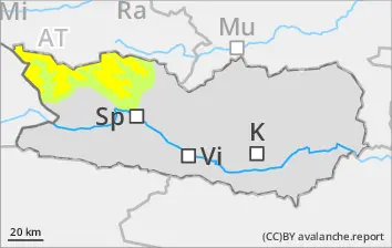
Major danger: snowdrift accumulations
As a result of fresh snow and moderate-tostorm strength winds, trigger-sensitive snowdrift accumulations will be generated until midday esp. in gullies and bowls, behind protruberances in the landscape as well as in general above 2200m. These masses can often be triggered by the weight of one single skier or else trigger naturally. Avalanches occasionally grow to medium size. Frequency and size of the danger zones tend to increase with ascending altitude. They are easily recognized by practiced backcountry skiers.
In addition, avalanches can in some places trigger in the weak old snow, particularly in ridgeline zones and in transitions into gullies and bowls.
Isolated loose-snow avalanches can be expected as a result of higher temperatures, particularly on the foot of rock cliffs.
Snowpack
dp.6: cold, loose snow and wind
dp.1: deep persistent weak layer
Up to 10cm of fresh snow fell from place to place. The often stormy winds transported the fresh snow and often, also the old snow. Fresh snowdrift accumulations were generated particularly in ridgeline zones, in gullies and bowls and in general at high altitudes.
Snowdrift accumulations will be generated until midday, they blanket a weak old snowpack surface above 2400m. At mid-level in the snowpack there are faceted weak layers evident on shady slopes.
At all altitudes there is too little snow on the ground for this juncture of the season. The snowpack is highly irregular over small areas.
Tendency
Avalanche danger levels will gradually recede.