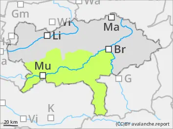
Danger level
 | 1800m |
|  |
|  |

![]()
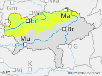
Limited Visibility conditions - Caution: snow drift is prone to triggering, especially in gullies and bowls with old snowpacks.
The Avalanche danger above around 1.800 m AMSL is moderate, below 1.800 m AMSL: low. Stormy winds from west to northwest cleared out exposed slopes but drifted snow towards gullies and bowls behind ridgelines. Snowdirftpacks tend to be prone to triggering, possible slab avalaches are small to medium, could be triggered by individual skiers with small additional load. Due to temporary warming and radiationon saturday the situation eased out on sunny slopes, the situation on shady slopes is marginal changing. Due to windshift increaasing snowdrift in west sector is expected. Depending on the wind influence avalanche prone locations can offer only weak snowpack layers, risk of falling.
Snowpack
In the area of the northern Alps as well as on the north side of Tauern the amount of new snow during the night of saturday is significantly more than predicted. The amount of new snow in Totes Gebirge and the area of Hochschwab is about 50 cm. The snow got on bare soils, fresh snow drift in gullies and bowls in highe shady slopes got on bonded snow from the last Novemberdays which transformed to facetted snow crystals.
Tendency
Low amounts of new snow and weakening wind will not lead to significant changes of the avalanche danger scale.