Danger level
 | 2200m |
|  |
|  |

![]()
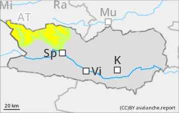
Caution urged towards trigger-sensitive snowdrift accumulations
As a result of fresh snowfall and strong-to-storm strength winds from varying directions, trigger-sensitive snowdrift accumulations have been generated since Friday, particularly in gullies, bowls and behind protruberances in the landscape. These can be triggered by one single skier in all aspects above 2200m. Due to winds the drifted masses will continue to grow further, particularly on SE-S-SW facing slopes in high alpine regions. Caution is urged esp. along the Salzburg. border in the regions where there has been snowfall. Avalanches are medium-sized in isolated cases. Apart from the risks of being buried in snow masses, the danger of being swept along and forced to take a fall need to be taken into consideration.
Snowpack
dp.6: cold, loose snow and wind
dp.1: deep persistent weak layer
From place to place, 20-25 cm of snowfall has fallen since Friday. Winds were blowing at strong-to-storm strength. Freshly generated snowdrift accumulations are poorly bonded with each other and with the old snow. The upper layers of the snowpack are soft; the lower layers are faceted.
Tendency
Forecasts of developments, including of avalanche danger, are still uncertain.