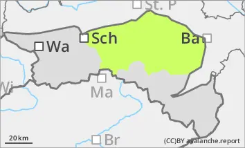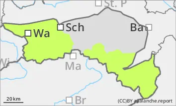
Danger level
 | treeline |
|  |
|  |

![]()
Low avalanche danger, but watch out for older wind slabs in the north and east aspects!
The avalanche risk is low. In a few places at high altitudes, old and fresh snowdrift accumulations can be triggered as small slab avalanches in steep and shady gullies and bowls. Due to icy surfaces, the risk of falling is greater than the avalanche risk in many places.
Snowpack
There is still significantly less snow than average. Due to the rain and warmth, the snowpack is superficially moistened and partly icy at higher elevations. At the highest elevations, small, fresh pillows of wind drifted snow have formed on the north and east sides. Where there is a snow base, fundament (shady areas at high altitudes), angular snow crystals are still weakening the stability of the snowpack.
Tendency
In the night into Saturday and over the weekend, it will be changeable with sunshine, partly dense clouds and a few showers. However, there are no signs of any significant amounts of new snow. The avalanche risk remains low.